The panoramic tour bring us to the highest mountains of Gran Canaria. As the name suggests we enjoy in this wonderful hike views over the majority of the island.
The guided walk is technically quite simple. It goes on good, although sometimes a bit rocky trails, that are sufficient wide. The last meters to the Camapanario mountain are a bit rocky but to master without any problems of any even moderately experienced hiker.
Technical data of the guided walk:
Range: 10-12 miles
Altitude: 450 -550 m
Duration: 3.5 to 4.5 hours without breaks
Difficulty: 1-2
Description of the guided hike „Panorama Tour“
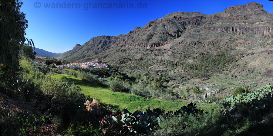
Our tour begins with an interesting car journey from the impressive valley of Fataga and the same-named small village and continues over San Bartolome to the center of Gran Canaria.
In the dense Canary pine forest, at about 1600 meters, the hike begins. There are a little different possibilities which are selected depending on group composition and weather.
The ascent begins with pretty easy, good and wide trails. We walk through the shady pine forest uphill.
Our first major goal is the second highest mountain of the island, the Campanario with 1930 meters. This is also the highest mountain whitch can be reached only on foot. From up there you have wonderful views of the next to us lying Pico de las Nieves, the Fataga valley below us of and on the horizon in the south the dunes of Maspalomas. Further west we see behind the Roque Nublo, the pine forest in the center of Gran Canaria and Tenerife with the Teide.
After a break, we are walking a little down, surround the Camapanario on its base and then we make the final ascent to Pico de las Nieves, the highest mountain on the island (1949 meters altitude). Even from up there are again beautiful views of a large part of Gran Canaria. Also it´s possible to visit a „Snow Hole“.
The descent we make on a small side valley, on a little rarely walked path to the car.
Below are two links to a few panoramic photos
360 degree panorama from the Pico de las Nieves
360 degree panorama photo viewed from Campanario.
Photos of the walking tour
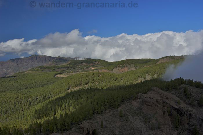
This walking tour begins on the dense pine forest in the center of the island. As you can see, it can sometimes give some clouds in winter. But they stay mostly in the north part of the island.
Depending on the specific choice of our hiking tour we pass or pass above a reservoir. This reservoir is for the water supply for agriculture from Tejeda.
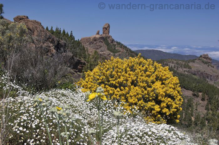
In spring blooms the yellow gorse, white daisies and yellow goose thistles. When walking, we get again and again the Roque Nublo from every possible angle to see.
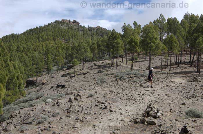
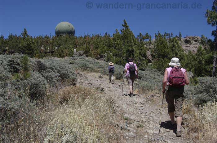
The ascent to the Campanario, seen in the background, leads on good, but sometimes rocky paths, through the pine forest in the center of Gran Canaria.
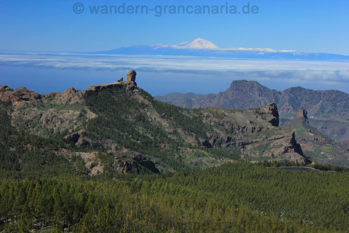
We enjoy the views from the Campanario, over the Roque Nublo away westward to Tenerife. In the background the snow-capped Teide mountain.
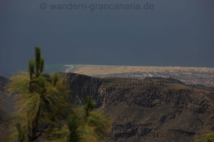
View to the south of Gran Canaria. In the background, the sand dunes of Maspalomas are seen. Prior to Playa del Ingles.
The final climb of our walking treck brings us to the highest mountain of Gran Canaria, the Pico de las Nieves.
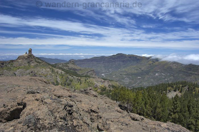
View from the Pico de las Nieves to the center, to the volcanic caldera of Tejeda, the highest mountains in the north (Moriscos) and Artenara. On the left side of the picture the Roque Nublo and further to the right Cruz de Tejeda.
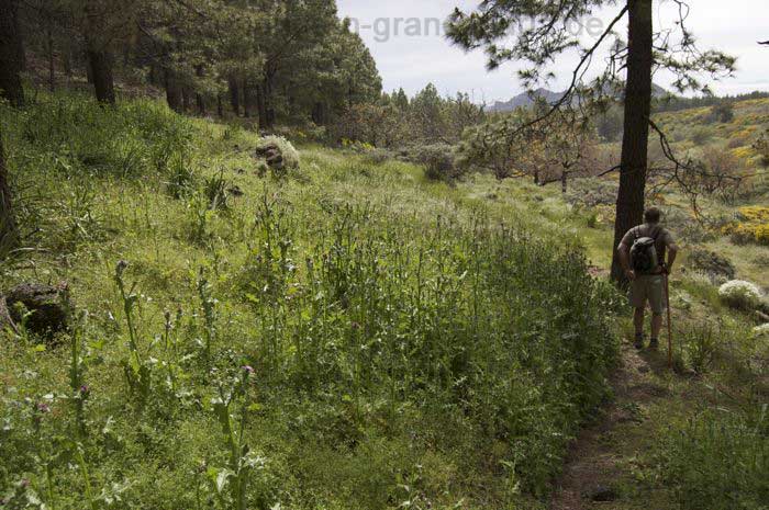
The descent of the panoramic hiking tour leads us through a side valley. At first through the pine forest then, especially in spring, we walk through a particularly green nature / culture landscape with all kinds of flowers.

